(click on pictures to enlarge)
Enough preliminaries, on with the pictures. You park in what is called the 'lower parking', then walk 0.8 miles up an asphalt road to the 'upper parking' - which is always closed for parking with a chain. This is where the hike actually begins:

There are four ways to hike this trail:
- counter-clockwise,
- clockwise,
- ridge trail (with rock scramble) up & back,
- and fire road up and back.
Looking at the picture above, the ridge trail starts to the left of the kiosk going up, the fire road is to the right heading nominally down. The ridge trail keeps it's reasonable grade to the rock scramble part by utilizing numerous switchbacks. Mostly it is a little rocky path like this, wide enough in most places for hikers to almost walk side by side:

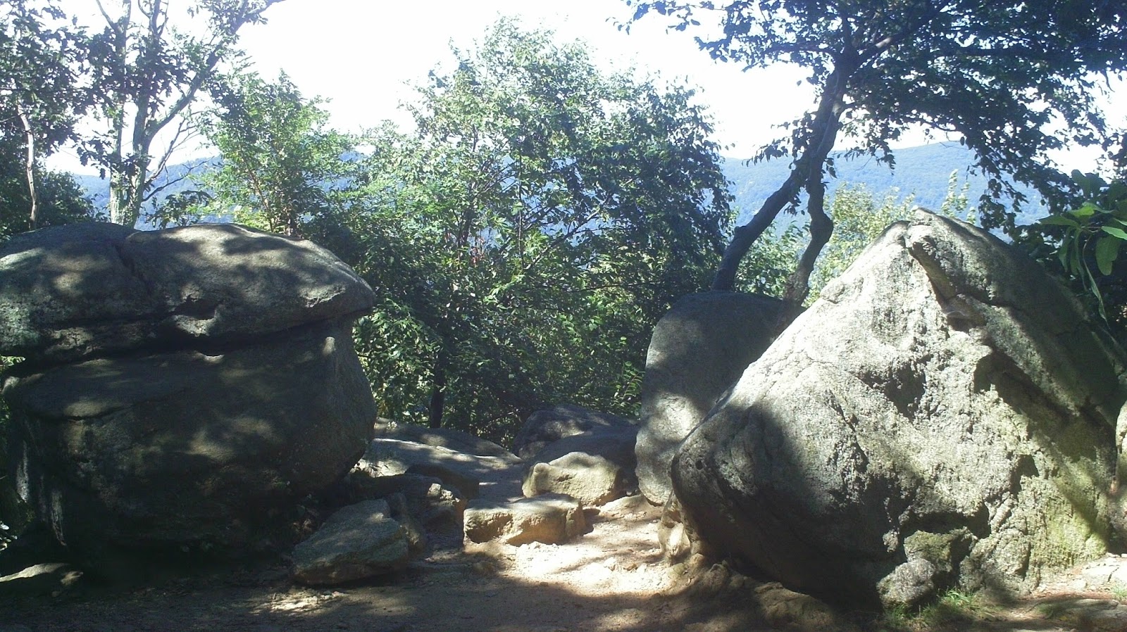
Eventually you reach the some unique boulders:
Followed by your glimpses of the mountains around you:

And the first overlook:

The rock scramble portion has kind of already started, but now begins in earnest.

I don't have a picture of the first real obstacle that is just before the above picture, but it is about a 7 foot drop into about a 2 1/2 foot channel. There is a little ledge to step on to get down into it. It is a little intimidating. I will say that no 'rock climbing' skills are necessary, nor is there any real danger beyond perhaps a twisted ankle or the like. For the first time through, we just took each obstacle one at a time, thinking through where to put our feet and hands, and only ended up with one very small knee scrape. Technically it was more challenging than the Great Falls Billy Goat trail, but i'd say physically (upper body wise) it was easier, or at least no harder.
There are lots of unique rock formations to go through:

Crawl under:

(for scale - though she will kill me for putting this on the blog):

stand under:

look through:

and slide down:

Eventually you come to the best view of the hike. It is not the summit (there is still about 10 minutes of scramble to go through), but it takes your breath away. Here is a 180 pan of the view from there (click on it, right click, then 'open in new tab' - from there zoom your browser - amazing place!):
The summit is more of a plateau than a single pointy location. There are views there, but not as breath taking as this location.
At the summit there is a sign pointing the the trail down to the fire road return route. A word about that. The sign says that the parking area is 5.3 miles. If you are like me, that was a bit of a blow. I was thinking 'Oh My God! Another 5 Miles!!!' Actually, the 5.3 miles it is referring to is the ridge trail you just came up. The path down to the fire road and back to the parking is just 3.5 miles (give or take).
There is no rock scramble down from here, only a rocky path that gives way to a wide path after you pass the 'Byrd's Nest' shelter:

You then come to the Old Rag Shelter (and Privy!), where you hang a right on the fire road and do the 2 or so mile walk back to the upper parking area. You will know you are getting near the upper parking area when you come to a series of iron bridges across the stream. Ummm - while I didn't do it, that stream looked like a great place to cool off sore feet!
While we didn't have the trail completely to ourselves, there were only a few groups on the trail. I attribute that to the weekday attempt just after the school year started. The cool and breezy day made it perfect for our journey. It was a rewarding hike and one of the best ones I have done. I an really glad to have done this 'bucket list' hike.
Really Mike, pamphlet these, sell them at the Visitors Center!!
ReplyDeleteI always enjoy reading hiking notes. Elevation changes are a helpful bonus.
ReplyDelete